

The real estate industry has undergone a quiet revolution in how properties are presented, analyzed, and sold. Traditional photography, once the gold standard for listings, now shares the stage with advanced 3D imaging technologies that offer buyers and investors far more than a flat image ever could. Among these innovations, the LiDAR camera stands out as a genuinely transformative tool—one that bridges the gap between physical spaces and their digital representations with remarkable precision. So what specific role does LiDAR play in modern real estate, and why are forward-thinking professionals investing in this technology? At its core, LiDAR delivers two critical capabilities that real estate teams desperately need: enhanced spatial visualization that captivates buyers and data-driven property analysis that supports confident decision-making. This article explores how LiDAR cameras function within the real estate ecosystem, examines their practical applications from listing to closing, and provides guidance on implementation for teams ready to gain a competitive edge.
Beyond Photos: Understanding LiDAR Technology and Point Clouds
LiDAR—Light Detection and Ranging—works by emitting thousands of laser pulses per second, each one measuring the precise distance between the sensor and surrounding surfaces. As the device sweeps across a room or building exterior, these measurements accumulate into what’s known as a “point cloud”: a dense collection of millions of individual data points, each carrying exact spatial coordinates. Think of it as a three-dimensional fingerprint of a physical space, captured down to millimeter-level detail.
Where a traditional photograph flattens a room into a two-dimensional image, and even standard 3D tours rely on stitched panoramic photos with limited geometric accuracy, a point cloud preserves the true spatial relationships between every surface, corner, and architectural feature. You can measure the distance between any two points, calculate volumes, or extract cross-sections—all from data captured in minutes. This measurability is what separates LiDAR from visual-only technologies. The resulting dataset isn’t just something to look at; it’s something to analyze, model, and build upon. For real estate professionals, this distinction matters enormously because it transforms a property from a visual asset into a quantifiable one, enabling decisions grounded in precise spatial reality rather than estimation or assumption.
Key Benefits of LiDAR for Real Estate Professionals
Unmatched Accuracy for Property Analysis
Point cloud data eliminates the guesswork that has long plagued property transactions. When a LiDAR camera scans a space, it captures exact measurements—square footage accurate to within centimeters, precise ceiling heights, window dimensions, and the true geometry of irregular rooms that tape measures struggle to document. This precision proves invaluable during renovation planning, where contractors can extract reliable dimensions from the scan without returning to the property. Architects use the same data for space planning, testing furniture layouts or partition placements against actual room geometry. For agents and appraisers, generating accurate floor plans from point cloud data means listings reflect reality, reducing disputes and building trust with buyers who arrive at showings with correct expectations.

Foundations for Immersive Digital Twins and Virtual Tours
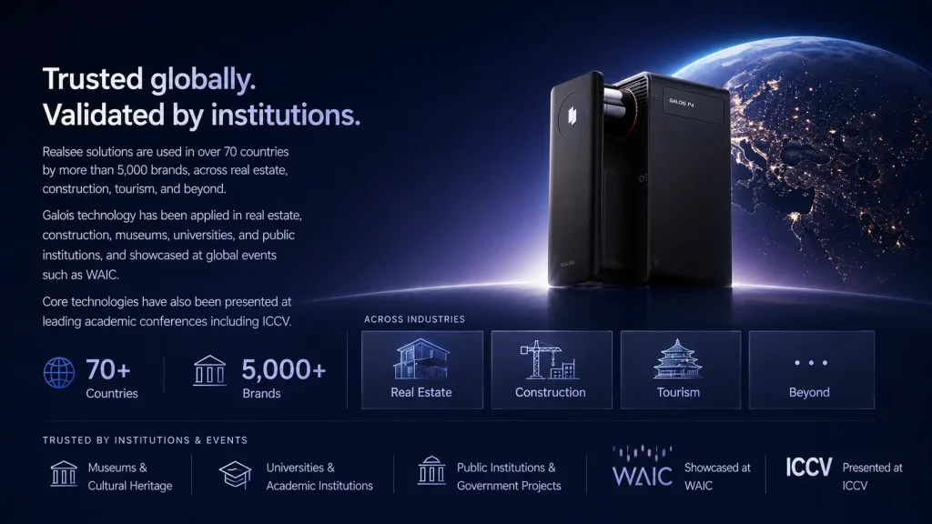
Point cloud data serves as the geometric skeleton upon which compelling digital twins are built. Once captured, the raw spatial framework can be textured with photographic imagery, modeled into clean surfaces, and transformed into fully interactive virtual environments. Buyers navigate these digital twins as though walking through the actual property—opening sightlines, gauging room proportions, and experiencing spatial flow in ways that photo slideshows simply cannot replicate. PropTech platforms like Realsee have advanced this capability by combining LiDAR-captured geometry with intuitive navigation interfaces, making immersive property experiences accessible to both agents and buyers. For luxury listings or pre-construction sales, these immersive experiences attract serious buyers earlier in the funnel and reduce time-wasting visits from mismatched prospects.
Efficiency and Comprehensive Field Experience
A complete LiDAR scan of a standard residential property takes minutes rather than the hours required for manual measurement. Complex spaces—rooms filled with furniture, homes with vaulted ceilings or curved walls, multi-level commercial properties—are captured in a single scanning session without the errors that accumulate during traditional documentation. Perhaps most importantly, the comprehensive nature of the capture means teams rarely need to revisit a property. Questions that arise weeks later about a specific dimension or feature can be answered directly from the point cloud, enabling truly remote assessment for out-of-town investors or portfolio managers evaluating multiple properties simultaneously.
Practical Applications: From Listing to Closing
Enhanced Marketing and Buyer Engagement
LiDAR-derived 3D models elevate property marketing far beyond what static images achieve. Agents embed interactive walkthroughs directly into listing pages, allowing prospective buyers to explore spaces at their own pace—zooming into architectural details, measuring rooms mentally, and developing genuine spatial familiarity before scheduling a visit. Virtual staging becomes more convincing when built atop accurate geometry; furniture scales correctly, lighting behaves realistically, and buyers trust what they see because proportions match reality. For high-end properties competing for attention in crowded markets, these immersive presentations generate longer engagement times on listing pages and attract more qualified inquiries from buyers who already understand the space.
Due Diligence and Property Documentation
During transactions, LiDAR scans serve as objective records of property condition at a specific moment in time. Sellers commission scans to create comprehensive as-built documentation, establishing a baseline that protects against future disputes about what was or wasn’t disclosed. Out-of-town investors conduct meaningful due diligence remotely, examining structural details and spatial configurations without flying across the country for preliminary assessments. Insurance professionals and lenders also benefit—accurate volumetric data supports more precise valuations, while timestamped scans provide indisputable evidence of pre-existing conditions should claims arise later.
Integration with Specialized Platforms
Raw point cloud data gains additional value when processed through specialized platforms. Solutions such as Realsee enable teams to transform scan data into polished digital twins and interactive experiences, while other tools focus on extracting structural measurements, identifying geometric anomalies, or linking scan data directly to Building Information Modeling systems where it informs renovation budgets and facility management workflows. This integration capability transforms individual property scans from standalone deliverables into components of larger data ecosystems, connecting field-captured reality to the planning and management tools that real estate organizations already rely upon daily.
Implementing LiDAR: A Step-by-Step Guide for Real Estate Teams
Adopting LiDAR doesn’t require a complete operational overhaul, but a structured approach ensures teams extract maximum value from their investment. Start by assessing your specific needs and goals. Are you primarily solving for marketing differentiation, accurate documentation, or both? A luxury residential brokerage prioritizing virtual tours has different requirements than a commercial firm focused on due diligence and space planning. Clarifying your primary use case shapes every subsequent decision.
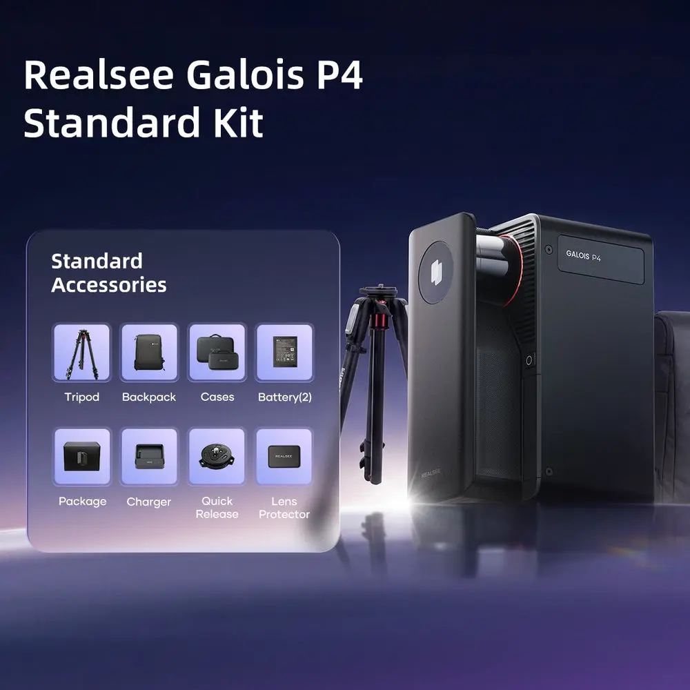
Next, choose hardware that matches your workflow. Handheld LiDAR scanners offer portability and speed for agents scanning multiple properties daily, while tripod-mounted systems deliver higher point density for commercial or architectural applications demanding maximum precision. Consider your team’s technical comfort level—some devices prioritize simplicity with automated capture workflows, while others offer granular control for experienced operators.
During scanning, follow best practices that protect data quality. Ensure adequate overlap between scan positions, minimize movement of people or objects during capture, and scan systematically room by room rather than rushing through haphazardly. Consistent lighting conditions help when photographic texture is captured alongside geometry.
Once raw data is collected, processing transforms point clouds into usable deliverables. Dedicated software cleans noise from datasets, registers multiple scans into unified models, and exports formats compatible with your downstream tools—whether that’s a virtual tour platform, CAD software, or a BIM environment. Finally, integrate finished assets into your existing marketing and workflow platforms. Embed interactive models in listing pages, attach measurement-ready files to transaction documents, and establish a scanning protocol that becomes standard practice for every new listing your team takes on.
Future Trends: The Evolving Role of Spatial Data
The role of LiDAR in real estate is expanding well beyond the transaction itself. Digital twins created during the sales process increasingly serve as living documents for facility management long after closing—property managers reference original scan data to plan maintenance, track modifications over time, and coordinate vendor work without redundant site visits. Each rescan adds a temporal layer, creating a spatial history of the asset that appreciates in value alongside the property itself.
Artificial intelligence is accelerating what’s possible with point cloud datasets. Machine learning algorithms now analyze raw spatial data to automatically detect structural defects like sagging floors or bowing walls, recognize furniture and fixtures for automated inventory, and flag discrepancies between as-built conditions and original architectural plans. These capabilities reduce the expertise required to extract meaningful insights, democratizing access to analysis that previously demanded specialized engineering knowledge.
Perhaps most exciting is the convergence of LiDAR data with augmented and virtual reality platforms. Buyers wearing AR headsets can walk through an empty property while seeing proposed renovations rendered in real time atop accurate geometry. Investors evaluate entire portfolios in VR environments built from actual scan data rather than artistic interpretations. As these technologies mature and hardware becomes more accessible, the expectation of spatial data availability will shift from competitive advantage to baseline requirement—making early adoption not just strategically smart but essential for long-term relevance in an increasingly data-driven market.
Why LiDAR Is Becoming Essential for Real Estate Success
LiDAR cameras have evolved from specialized surveying instruments into cornerstone tools for modern real estate practice. Their role extends far beyond simple documentation—they serve as the foundation for immersive marketing experiences that captivate buyers and the source of precise spatial data that empowers confident decision-making across every stage of a transaction. For real estate professionals navigating increasingly competitive markets, LiDAR addresses two persistent challenges simultaneously: the need to present properties through compelling, interactive virtual experiences that attract qualified buyers, and the demand for accurate, measurable property data that supports everything from renovation planning to remote due diligence.
As buyer expectations shift toward immersive digital experiences and as data-driven analysis becomes standard practice rather than a luxury, LiDAR technology is transitioning from early-adopter advantage to industry expectation. Teams that invest in building scanning capabilities now—developing workflows, training staff, and integrating spatial data into their operations—position themselves not only to outperform today’s competition but to meet tomorrow’s baseline requirements. The question facing real estate professionals is no longer whether LiDAR belongs in their toolkit, but how quickly they can implement it before spatial data fluency becomes the minimum standard their clients expect.