
Land measurement has always played a critical role in agriculture, real estate, taxation, and urban planning. While modern measurement systems offer standardized units, traditional land calculations are still widely used across many regions, especially in countries like India. This coexistence of old and new systems often creates confusion for buyers, sellers, farmers, and developers who must interpret land records accurately.
In today’s digital era, understanding how traditional land units relate to standardized measurements is more important than ever. This guide explores commonly used land measurement units such as acre, square foot, square mile, hectare, and Bigha, explaining their relevance, usage, and how they fit into modern land calculations.
Why Land Measurement Systems Matter Today
Accurate land measurement is essential for legal documentation, property valuation, agricultural planning, and infrastructure development. Errors in understanding land units can lead to disputes, financial loss, or regulatory complications.
Although standardized systems like the metric system are officially recognized, traditional units continue to dominate local transactions. Conversions such as Hectare to Bigha are often required when modern records intersect with traditional land ownership documents, making accurate understanding essential for compliance and valuation. This makes it necessary to bridge the gap between historical land measurement practices and contemporary measurement standards used in official records and digital platforms.
Acre: A Widely Accepted Land Measurement Unit
The acre is one of the most commonly used land measurement units worldwide. It is widely accepted in countries such as India, the United States, and the United Kingdom, particularly for agricultural land and large plots.
One acre equals 43,560 square feet. Due to its consistent definition, the acre acts as a bridge between traditional and modern systems. Farmers, real estate professionals, and land surveyors often rely on acres to estimate land size accurately, making it one of the most practical units for both rural and semi-urban properties.
From farmland valuation to plotting layouts, the acre remains relevant even in an era dominated by metric measurements.
Square Foot: Precision in Urban Land Measurement
When it comes to residential and commercial properties, square foot is the preferred unit of measurement. It offers high precision, making it ideal for apartments, shops, offices, and individual houses.
Builders, architects, and buyers commonly use square foot calculations to determine carpet area, built-up area, and super built-up area. In urban real estate transactions, price per square foot is a standard benchmark for comparing property values.
Understanding square foot measurements helps property buyers make informed decisions and ensures transparency in construction and real estate agreements.
Square Mile: Measuring Large Land Areas
The square mile is typically used for measuring very large land areas such as districts, cities, forests, or industrial zones. One square mile equals 640 acres, making it unsuitable for small land transactions but extremely valuable for geographic and administrative planning.
Government agencies and urban planners often use square mile data for mapping population density, infrastructure development, and land-use planning. While it is less common in everyday property transactions, it plays a vital role in large-scale land assessment and regional development.
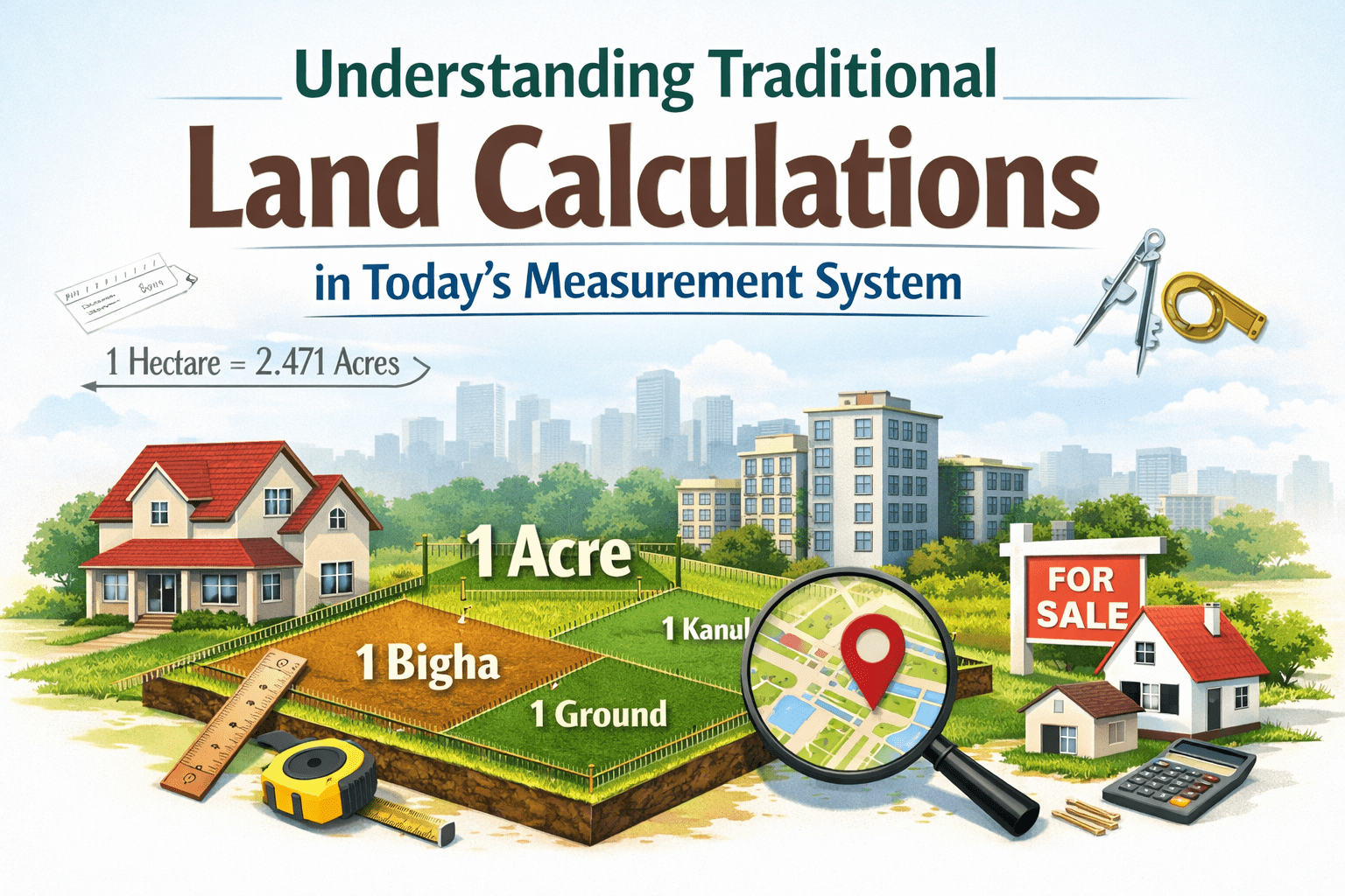
Hectare: The Metric System’s Standard Land Unit
The hectare is a metric unit commonly used in official land records, agriculture, and international land assessments. One hectare equals 10,000 square meters or approximately 2.47 acres.
Many government documents, land surveys, and agricultural reports rely on hectares due to their alignment with the metric system. For farmers dealing with crop yield calculations or irrigation planning, hectare-based measurements provide consistency and clarity.
Bigha: A Traditional Land Measurement Unit
Bigha is one of the most widely used traditional land measurement units in India. However, its value varies significantly from state to state, and sometimes even between districts.
For example, a Bigha in Uttar Pradesh differs from a Bigha in Rajasthan or West Bengal. This variation makes Bigha a localized unit rather than a standardized one. Despite this inconsistency, it remains deeply rooted in rural land transactions, agricultural agreements, and inheritance records.
Anyone dealing with ancestral land or rural property must understand the regional definition of Bigha to avoid misinterpretation and legal complications.
Challenges of Using Traditional Land Units
The primary challenge with traditional land calculations is inconsistency. Units like Bigha do not have a fixed national standard, which can lead to confusion when converting land records into modern measurement systems.
Another issue arises during digital land registration and online property verification, where standardized units such as square meter or hectare are required. Inaccurate conversions can affect land valuation, tax assessment, and ownership documentation.
These challenges highlight the importance of reliable conversion tools and region-specific knowledge when dealing with traditional land units.
Bridging Traditional and Modern Measurement Systems
To ensure accuracy and transparency, landowners and buyers should always verify land measurements using standardized units alongside traditional ones. Professional land surveyors and digital land measurement tools can help translate traditional units into modern equivalents.
Understanding how different units relate to one another empowers individuals to make better decisions, whether they are purchasing agricultural land, developing property, or verifying land records.
Using clear documentation that includes both traditional and modern measurements also helps prevent disputes and simplifies future transactions.
Practical Tips for Accurate Land Measurement
Always confirm the regional definition of traditional units before making any land-related decision. Refer to government land records, certified survey maps, or official revenue documents for accurate data.
When buying or selling property, insist on measurements in standardized units like square foot, acre, or hectare, along with traditional units if required. This dual approach ensures clarity and protects all parties involved.
Digital land calculators and verified conversion tools can also assist in making quick and accurate assessments without relying on assumptions.
The Future of Land Measurement Systems
As land records continue to be digitized, standardized measurement systems will play an increasingly important role. However, traditional land units will not disappear overnight due to their cultural and historical significance.
The future lies in integrating both systems seamlessly, allowing traditional knowledge to coexist with modern accuracy. Educating landowners, buyers, and professionals about these units will ensure smoother transactions and greater trust in land dealings.
Conclusion
Understanding traditional land calculations within today’s measurement system is essential for anyone involved in property, agriculture, or land management. Units such as acre, square foot, square mile, hectare, and Bigha each serve a unique purpose, depending on the scale and context of land use.
By learning how these units relate to one another and recognizing their practical applications, individuals can navigate land transactions with confidence. Accurate land measurement not only prevents disputes but also supports informed decision-making in an increasingly digitized world.
A clear grasp of both traditional and modern land measurement systems ensures that history and progress work together, rather than in conflict, when it comes to managing one of our most valuable resources—land.